


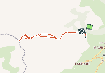

10,2 km | 19,2 km-effort

Benutzer


Kostenlosegpshiking-Anwendung
 SityTrail
IGN / Geografische Institute
SityTrail World
Die Welt öffnet sich für Sie
Tour Wandern von 8,4 km verfügbar auf Provence-Alpes-Côte d'Azur, Hochalpen, Le Dévoluy. Diese Tour wird von Dervalmarc vorgeschlagen.
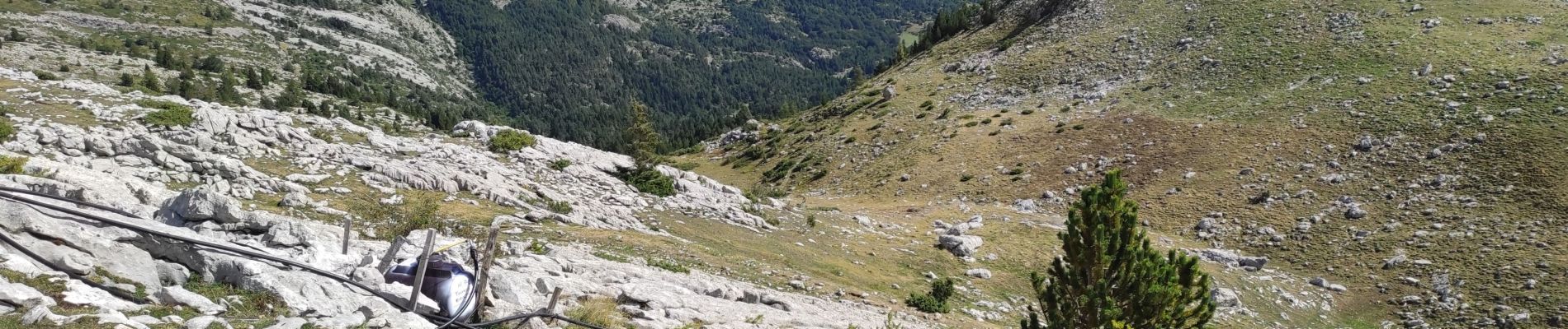
Attention certains passages peuvent impressionner.
Bien assuré son pas dans la montée sous le col sans nom.


Wandern

Wandern

Wandern

Wandern

Wandern

Wandern

Wandern

Skiwanderen

Skiwanderen